SkyMesh 3D collaborated with Metro Urban Development to create accurate 3D digital twins and orthomosaic maps supporting sustainable urban growth, zoning compliance, and infrastructure modernization.
“Having real-time, high-resolution 3D data transformed how we plan and communicate projects with stakeholders and residents.”
Challenge
Urban planners needed detailed, up-to-date spatial data to assess land use, infrastructure conditions, and future development impacts. Existing maps were outdated, incomplete, or difficult to integrate into planning software.
Solution
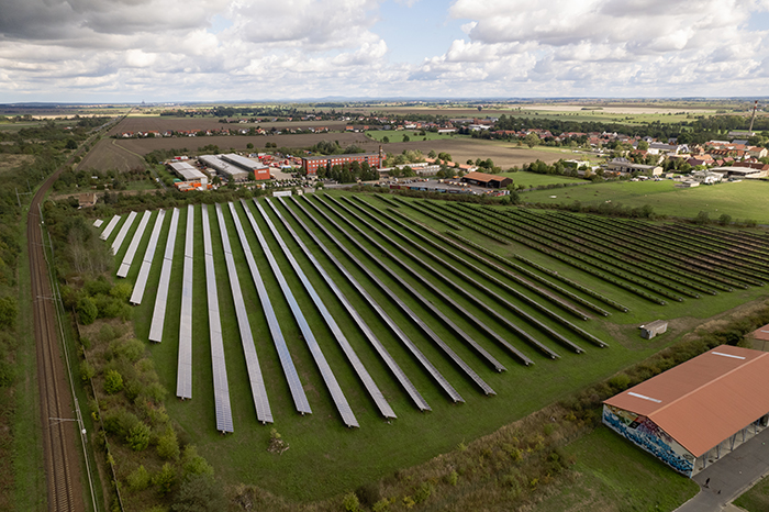
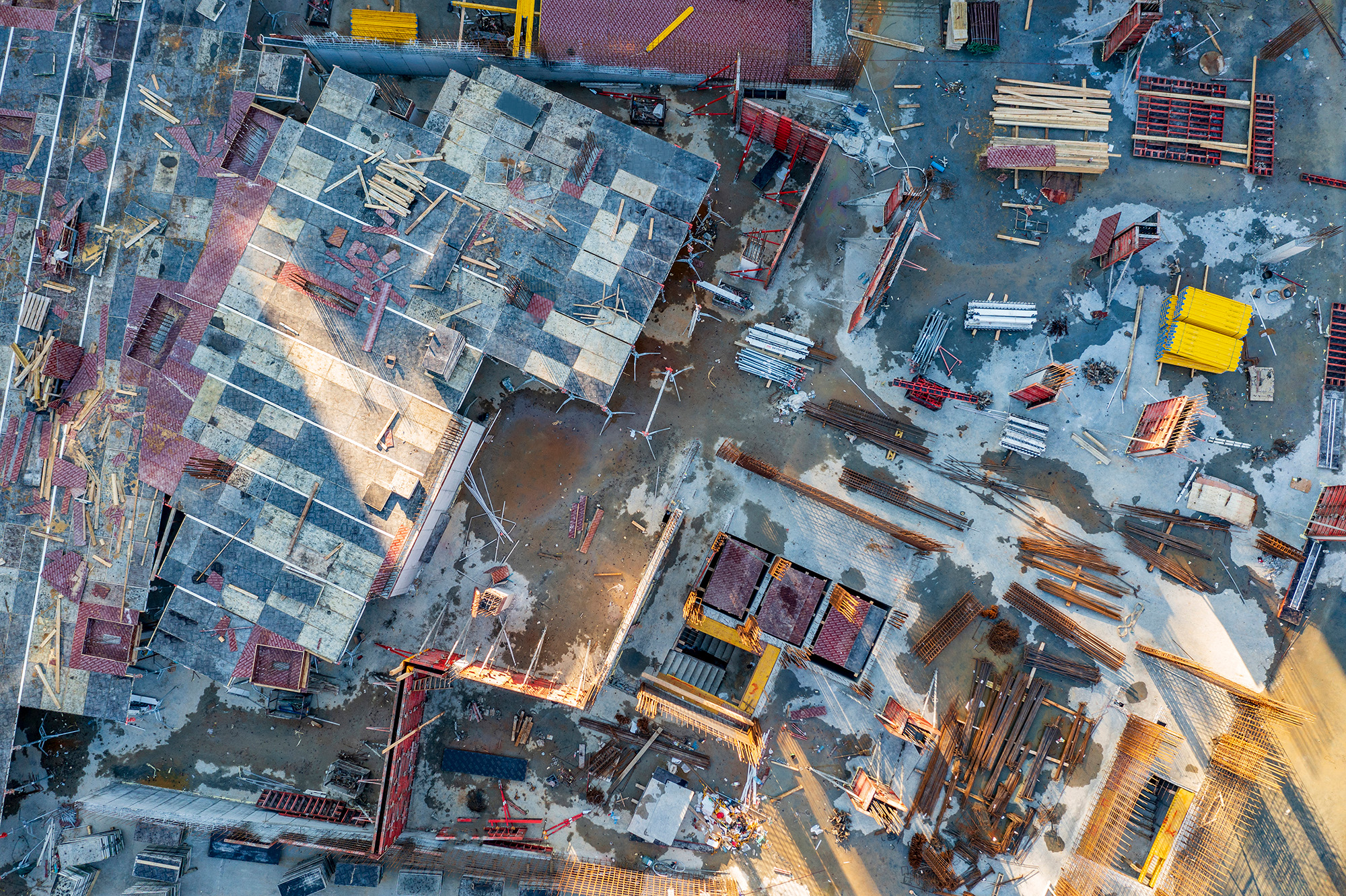
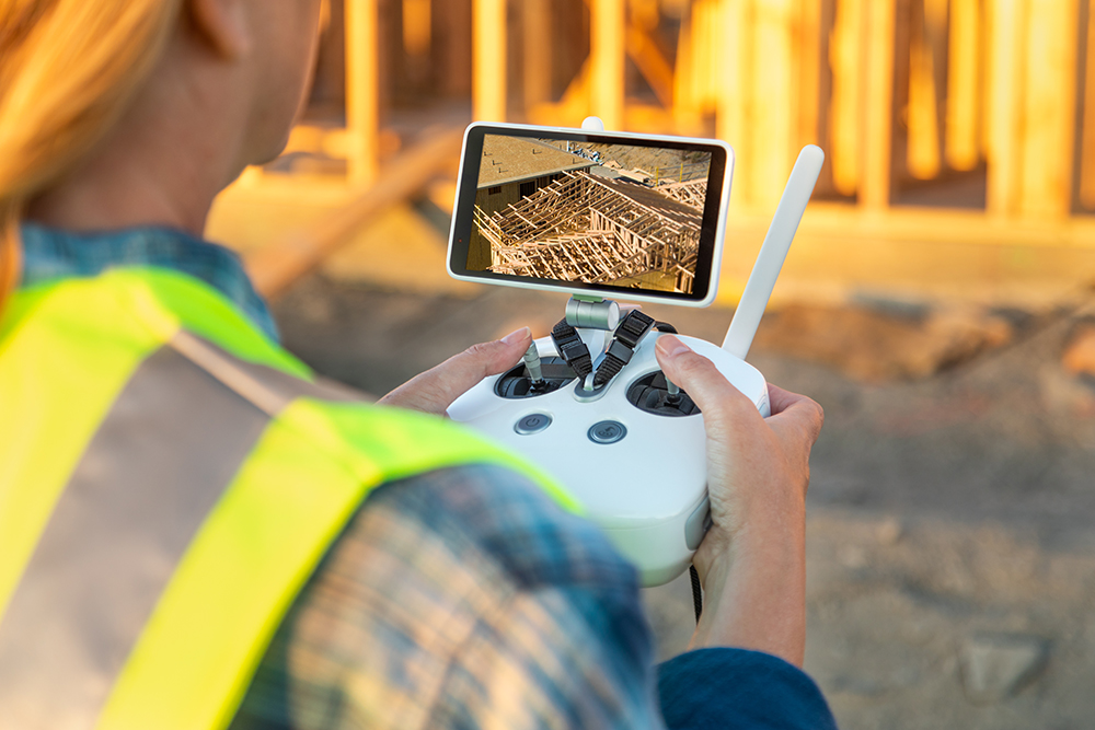
Deploying drone photogrammetry combined with RTK GPS, SkyMesh 3D generated comprehensive 3D city models and high-resolution orthomosaics. Data was integrated into GIS and BIM platforms to simulate scenarios, analyze zoning, and support public engagement with immersive visualizations.
Results
The digital twins reduced planning cycle times by 25% and improved cross-department collaboration. Public presentations featuring 3D fly-throughs increased community buy-in, streamlining approvals for major projects.
Tools Used
Hardware: DJI Mavic 3 Enterprise RTK, Ground Control Points
Software: Pix4Dmapper, ArcGIS Pro, Autodesk InfraWorks, CityEngine
These case studies are conceptual and based on realistic, technically feasible scenarios intended to demonstrate our future capabilities. They serve as vision pieces while we fundraise and build toward full implementation.