SkyMesh 3D partnered with GlobalBuild to provide weekly drone orthomosaic mapping and 3D site models that tracked construction progress, improved communication, and ensured regulatory compliance.
“The drone data helped us catch discrepancies early, avoiding costly rework and schedule delays.”
Challenge
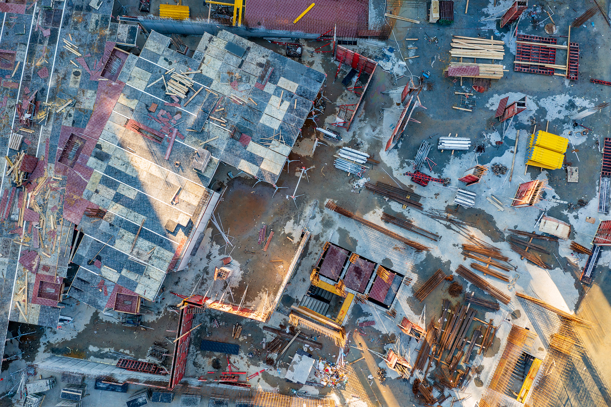
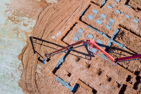
Managing a multi-acre construction site with multiple subcontractors made it difficult to maintain up-to-date documentation and verify work completion against plans. Traditional site walks were slow and risked human error.
Solution
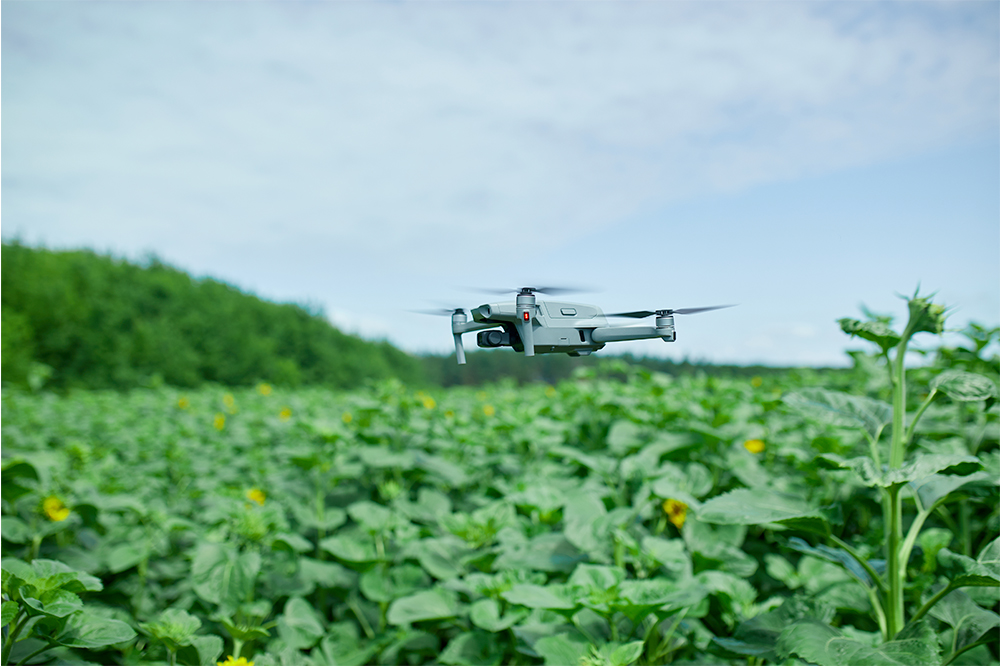
Using a DJI Mavic 3 with RTK and high-resolution cameras, we performed weekly flights capturing detailed orthomosaic maps and 3D terrain models. Data was processed in Pix4Dmapper and imported into BIM platforms for progress comparison.
Results
Project managers accessed updated maps and 3D models remotely, enabling faster decision-making and issue resolution. Early detection of deviations reduced costly rework by 15%, and overall project timeline was shortened by 10%.
Tools Used
Hardware: DJI Mavic 3 Enterprise RTK, GNSS Ground Station
Software: Pix4Dmapper, Autodesk BIM 360, Revit, DroneDeploy
These case studies are conceptual and based on realistic, technically feasible scenarios intended to demonstrate our future capabilities. They serve as vision pieces while we fundraise and build toward full implementation.