SkyMesh 3D partnered with a regional farming co-op to deliver NDVI analysis using drone imagery. Our mission: provide farmers with actionable crop health insights to improve yield and reduce costs.
“It was like seeing our fields in a new language—one that told us exactly where to focus our efforts.”
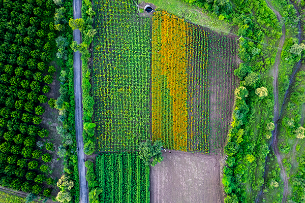
Challenge
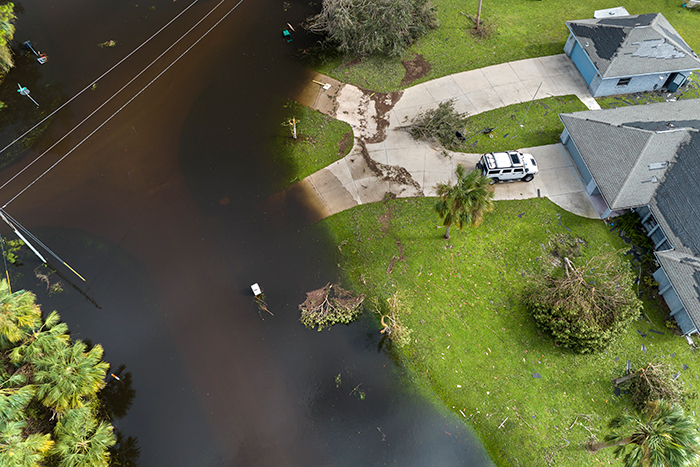
Large farms face difficulty tracking crop stress across thousands of acres. Manual inspections are time-consuming and often miss early warning signs. The challenge was to deliver a fast, scalable, and visual method of health diagnostics during peak growing season.
Solution
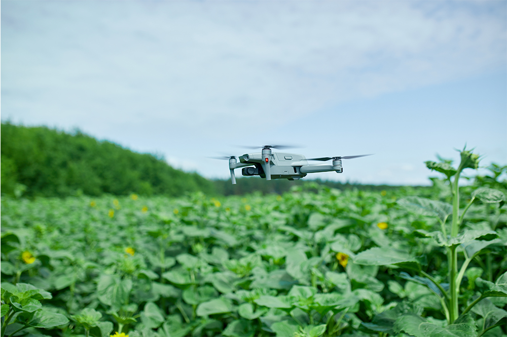
We conducted multi-acre scans with a multispectral camera-equipped drone, capturing data in visible and near-infrared bands. After processing with Pix4D and QGIS, we generated NDVI and VARI heatmaps. These maps helped identify water stress, pest impact, and nitrogen deficiencies.
Results
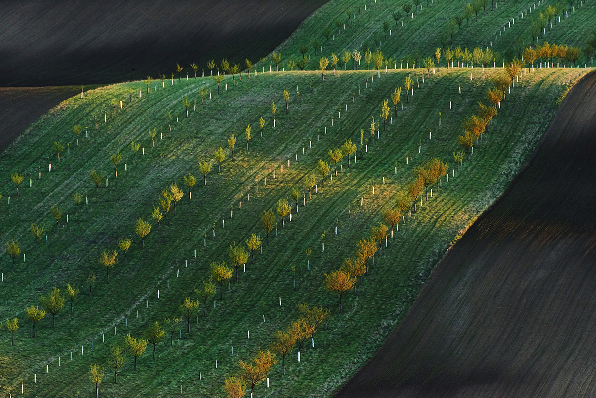
The NDVI reports led to more targeted irrigation and pesticide application, improving yield by an estimated 12%. Farmers reported reduced costs and less crop loss. The cooperative now schedules monthly drone flights as part of their precision farming strategy.
Tools Used
Hardware: DJI Mavic 3 Multispectral, RTK module
Software: Pix4D Mapper, QGIS, DroneDeploy
These case studies are conceptual and based on realistic, technically feasible scenarios intended to demonstrate our future capabilities. They serve as vision pieces while we fundraise and build toward full implementation.