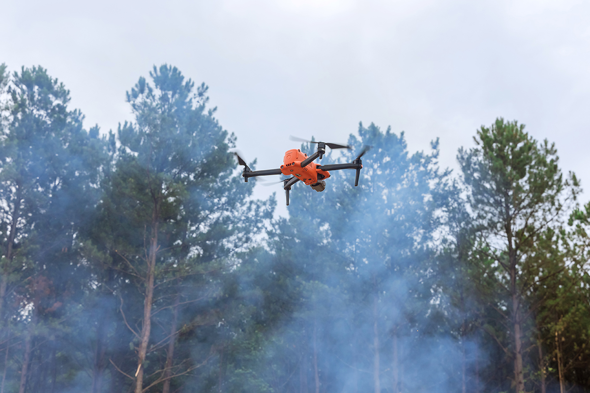
In a collaboration with state conservation agencies, SkyMesh 3D deployed thermal drones to assess dry biomass and spot disease clusters, helping prioritize wildfire risk zones in the Western U.S.
“We identified at-risk trees before they became ignition sources—at a fraction of the cost of traditional surveys.”
Challenge
Forest services lacked up-to-date maps on stressed vegetation, making it difficult to predict fire behavior or allocate prevention resources effectively.
Solution
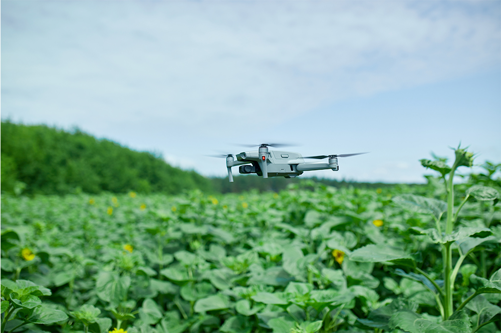
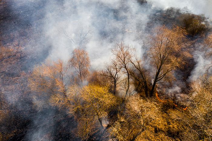
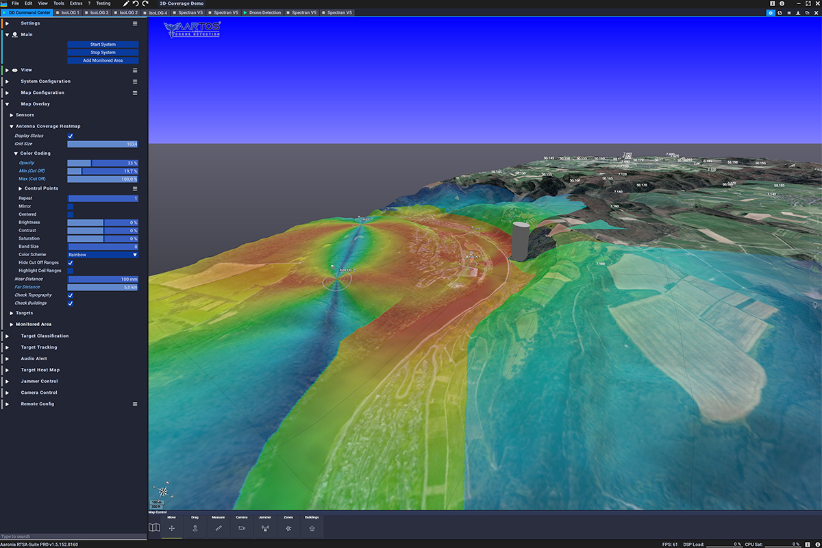
Our Mavic 3 Enterprise Thermal captured multispectral and thermal data across 10 square miles. Using AI image segmentation, we highlighted zones of heat stress and canopy thinning with pinpoint accuracy.
Results
Officials used our orthomosaics and 3D heat maps to redirect mitigation crews, install new firebreaks, and reduce response times by 30% during the summer season.
Tools Used
Hardware: DJI Mavic 3T, GPS RTK base station
Software: DJI Pilot 2, Pix4Dreact, QGIS, Segment Anything AI
These case studies are conceptual and based on realistic, technically feasible scenarios intended to demonstrate our future capabilities. They serve as vision pieces while we fundraise and build toward full implementation.