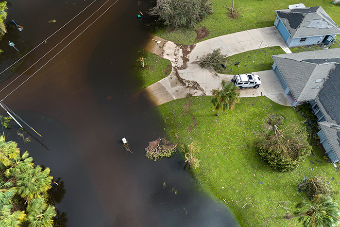
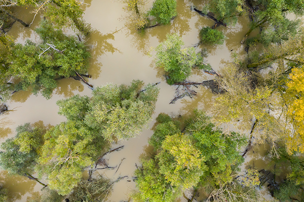
Following severe flooding, SkyMesh 3D deployed drone flights to rapidly capture high-resolution aerial data for damage assessment, enabling faster response planning and resource allocation.
“SkyMesh’s rapid drone mapping gave us the clear data we needed to coordinate rescue and recovery efforts efficiently.”
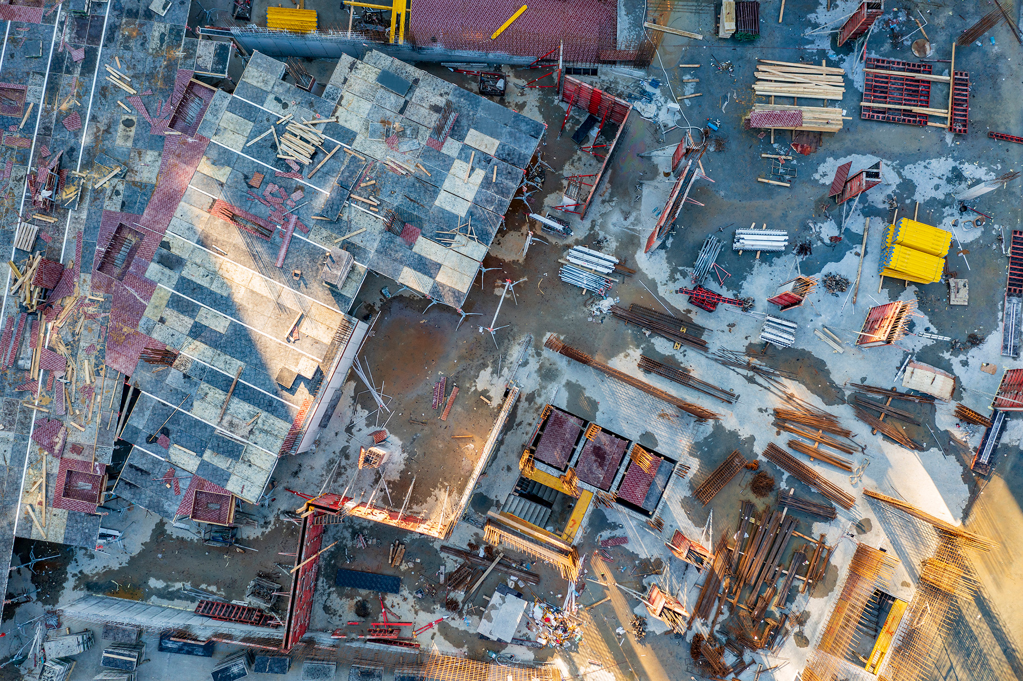
Challenge
Floodwaters made ground access impossible in many areas, delaying damage assessment and risk evaluation. Traditional satellite imagery lacked the resolution and timeliness needed for effective emergency response.
Solution
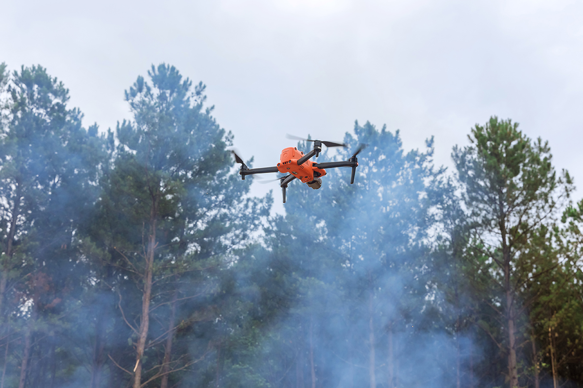
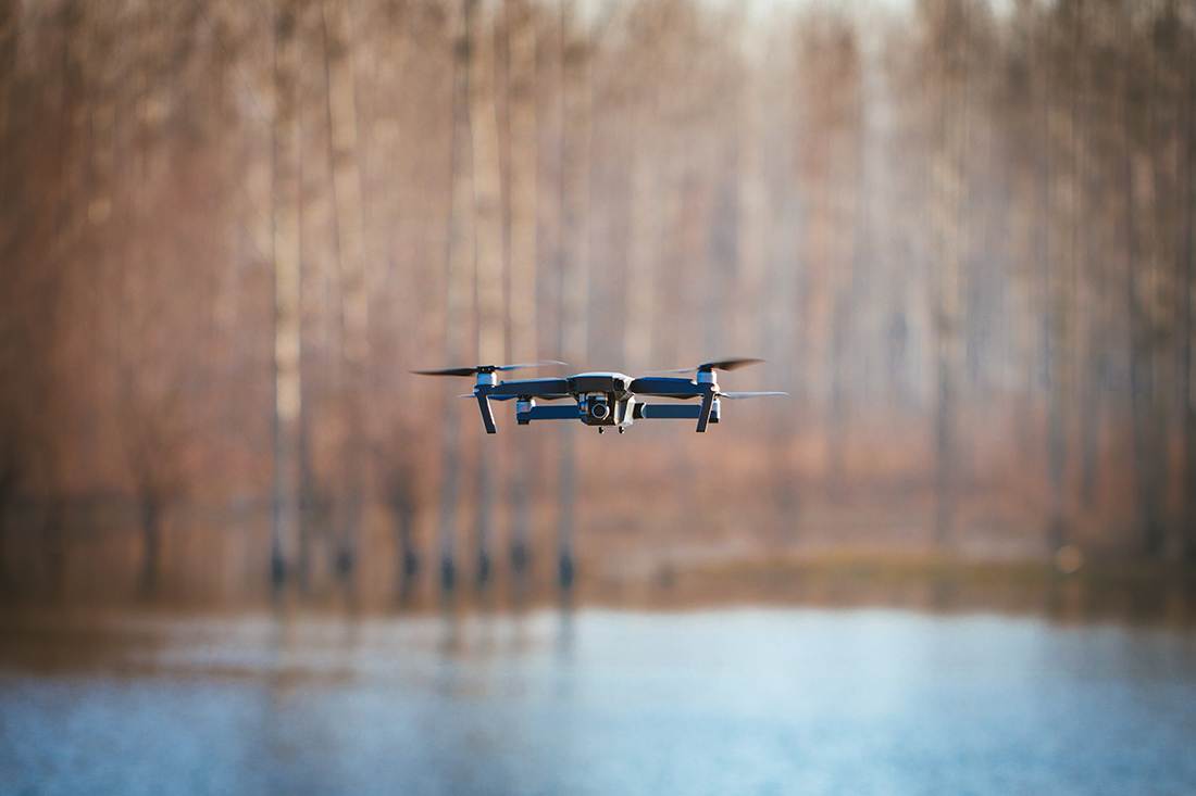
Utilizing DJI Mavic 3 Enterprise drones equipped with thermal and RGB cameras, SkyMesh 3D conducted rapid flights over affected zones. Orthomosaic maps and thermal overlays were created to highlight flood extents and stranded individuals. Data was processed in near real-time and shared with emergency teams via cloud platforms.
Results
The detailed maps reduced reconnaissance time by 70%, enabling quicker deployment of rescue teams. Thermal imaging identified heat signatures of trapped persons and animals, directly contributing to successful life-saving operations.
Tools Used
Hardware: DJI Mavic 3 Enterprise with Thermal Sensor, RTK GPS
Software: Pix4Dmapper, DroneDeploy, ArcGIS Online
These case studies are conceptual and based on realistic, technically feasible scenarios intended to demonstrate our future capabilities. They serve as vision pieces while we fundraise and build toward full implementation.