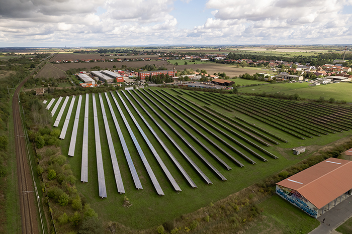
SkyMesh 3D partnered with GreenTech Renewable Energy to enhance solar farm efficiency and support environmental impact assessments using high-resolution drone data and thermal mapping.
“The precise thermal maps and 3D models provided by SkyMesh helped us spot underperforming panels and better plan maintenance—maximizing energy output.”
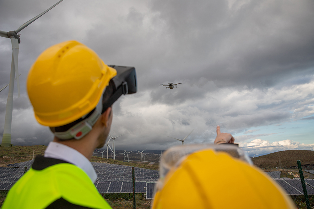
Challenge
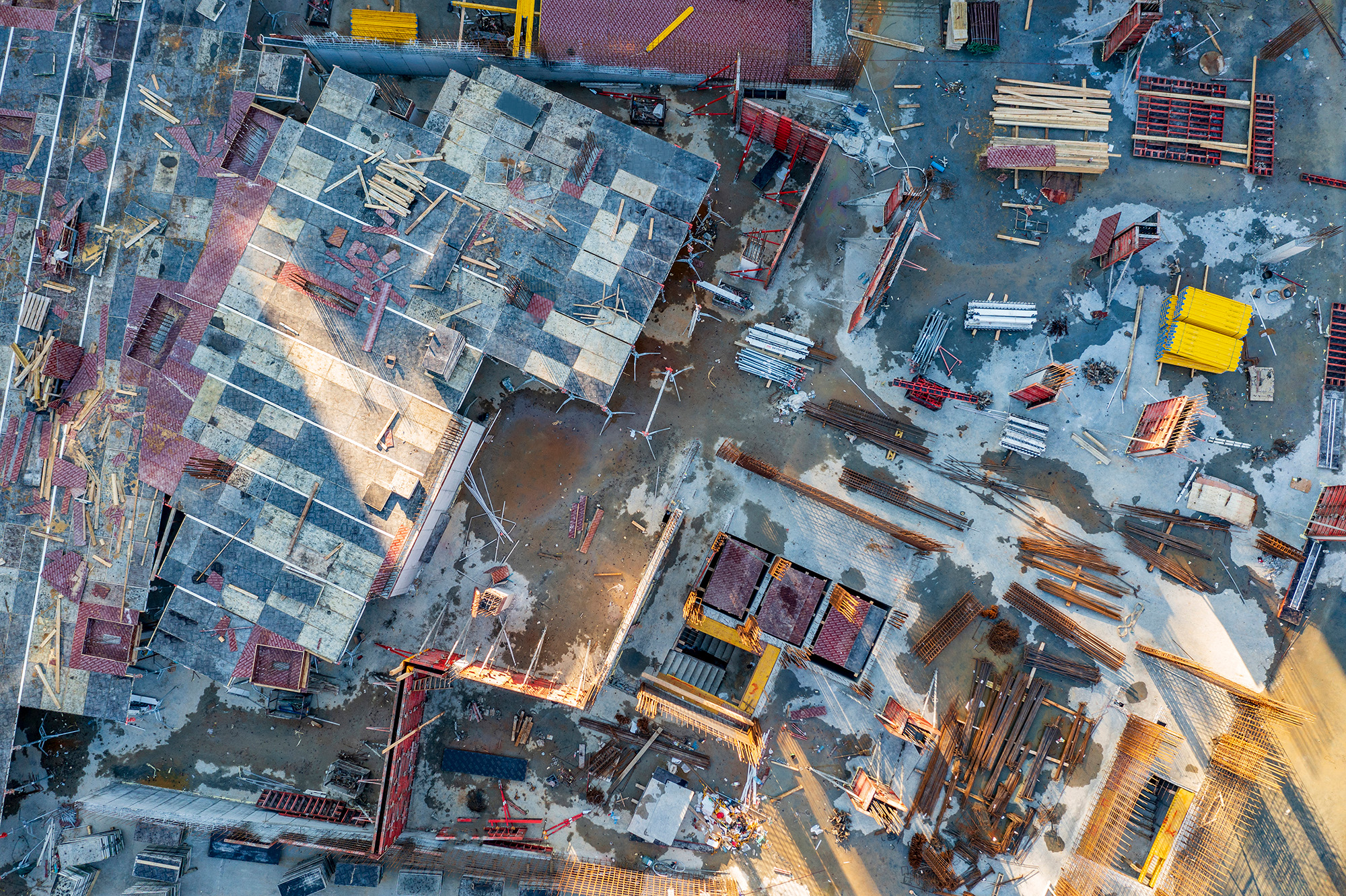
Managing large-scale solar and wind farms requires regular inspection to identify equipment faults and environmental changes. Traditional inspections are time-consuming, costly, and sometimes unsafe in difficult terrain.
Solution
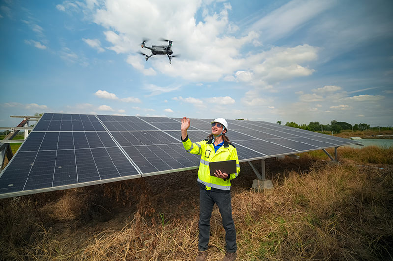
Utilizing DJI Mavic 3 Enterprise drones equipped with thermal and RGB sensors, SkyMesh 3D conducted regular aerial surveys. Orthomosaic maps and thermal overlays pinpointed heat anomalies indicating faulty solar panels or equipment. Data was integrated into asset management software for proactive maintenance.
Results
The drone inspections reduced manual labor by 60%, lowered downtime through early fault detection, and supported environmental compliance reporting. Detailed terrain models helped optimize turbine placement and monitor vegetation growth affecting performance.
Tools Used
Hardware: DJI Mavic 3 Enterprise with Thermal Sensor, RTK GPS
Software: Pix4Dmapper, DroneDeploy, ArcGIS, Energy Asset Management Platforms
These case studies are conceptual and based on realistic, technically feasible scenarios intended to demonstrate our future capabilities. They serve as vision pieces while we fundraise and build toward full implementation.